Showing posts with label Las Vegas Hiking. Show all posts

Monday, June 20, 2011

Training for the JMT

After a long 3 week break from hiking, I'm back in full training mode. It wasn't very good timing, but we moved right at the time when I should have been training hard for my upcoming JMT thru-hike. Although moving is good exercise, it's definitely not hiking.


Fathers Day, 4:40am, my son and I leave the house heading to the meeting place where he will depart for Boy Scout camp on Catalina Island. I was supposed to be going with him, but crazy things at work made it impossible. Sadness starts to overwhelm me because I've never missed one of these trips in his entire BSA career, so I bug out before long. My first free day in weeks, I head up to local Mt. Charleston to get back into training mode.
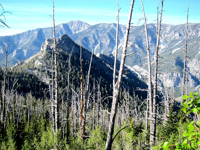


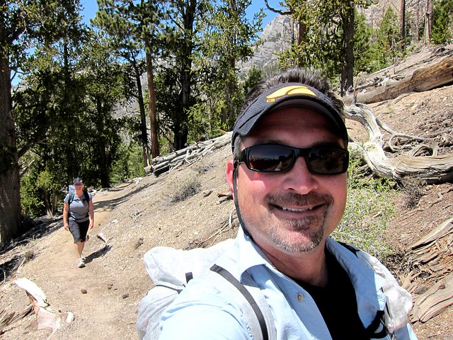
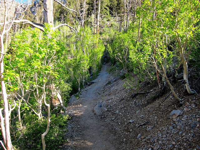
Just an hour in and it's like I never left. Damn it feels good to be up here. The cold morning air smells so fresh, and the Aspens are in bloom, waving in the gentle breeze. It's great to be out of the triple digit valley hustle and bustle.


A quick stop to take a glance across the valley, this is a beautiful camp site on a cliff just off the trail. Hmmm...maybe I'll camp here next weekend.
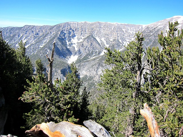


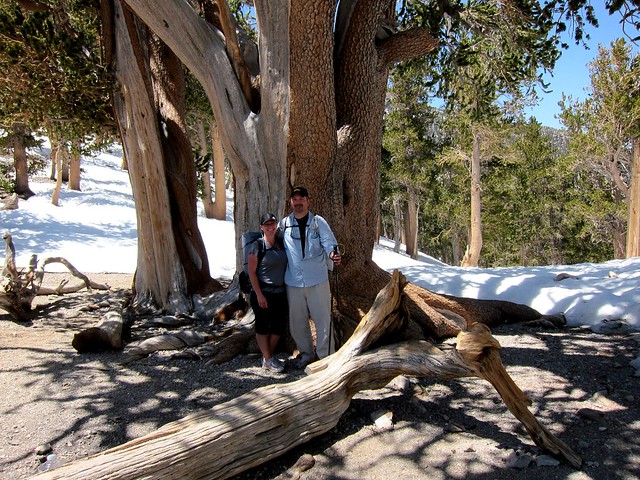
A hour later I find the perfect spot for a break by some lucky Bristlecones...


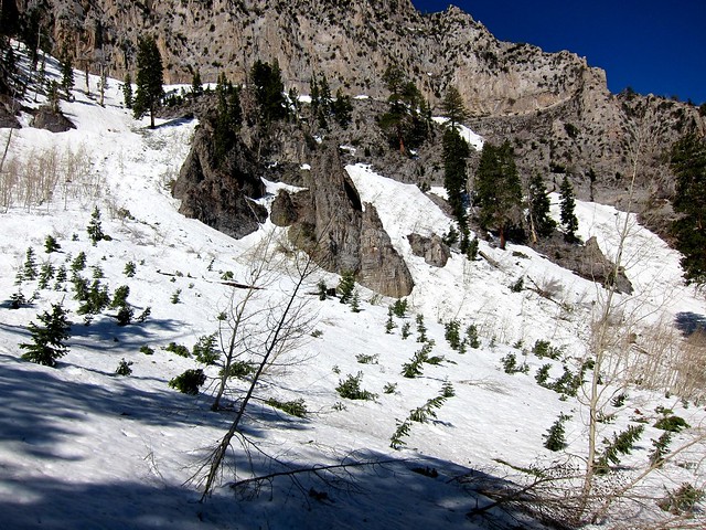
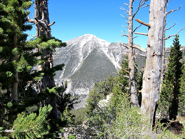
I stay longer than I normally would and enjoy the peacefulness of this beautiful place. As I gaze up at 11,918' Charleston Peak I realize there's far too much snow on the north face that I am approaching for me to reach the summit. I wonder how far I will make it.
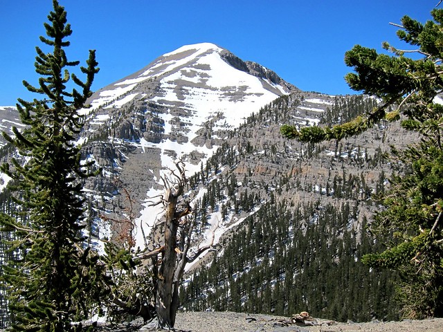


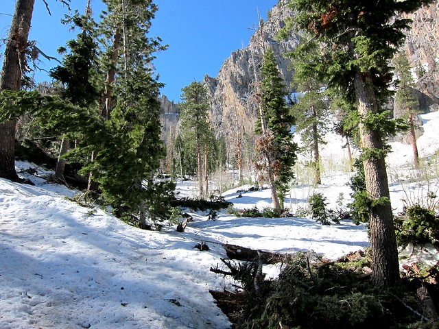
Snow in mid June at about 11,000' elevation is not unheard of, but this year there's way more than normal, that's for sure.
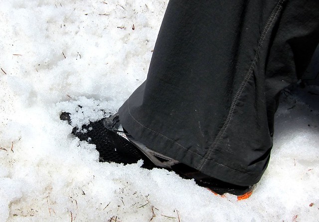


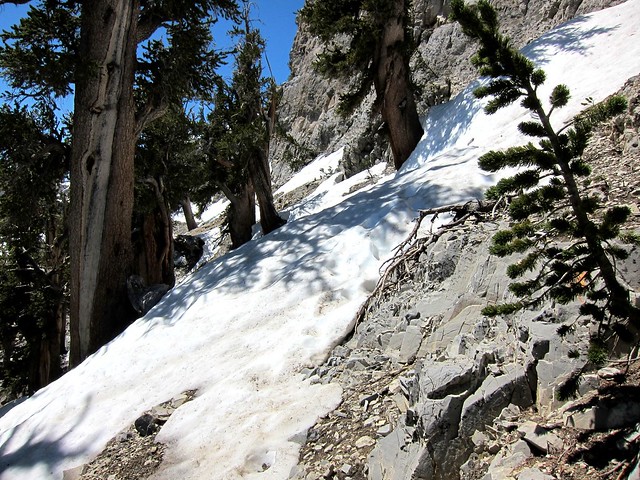
Less than a mile from the peak, Hiking starts to turn into climbing, and I'm uninterested. After making my way over several snow drifts, the wall to the right and the drop off to the left turn me around. A 16 mile hike turns into about 14, and the 4,300' elevation gain turns into some 3,500'.


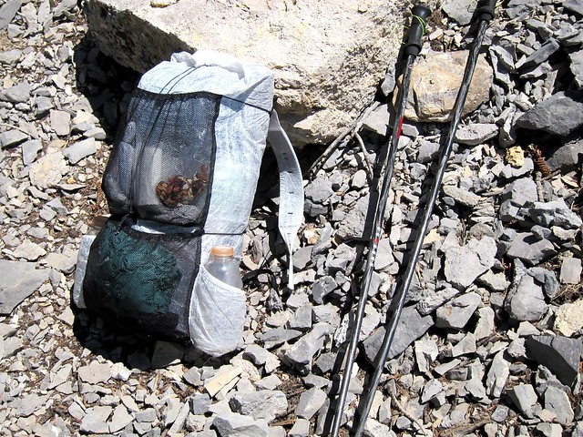
My MYOG cuben pack filled with all my JMT gear, bear canister included, takes a break on the way down. I'm glad to be back on the trail and am at peace with my world. I have a 200 mile hike just 5 weeks away, so the training now gets more intense. And I love every minute of it.
Monday, May 9, 2011

Things don't always go as planned

With our JMT thru-hike less than 3 months away, we decided it was time for us to get some elevation training. It had finally warmed up down in the valley, so we headed up to Mt. Charleston.


Trail Canyon or South Loop Trail, hmmm...both head towards Charleston Peak, which is currently buried under several feet of snow. I decided that if we could make it up the northern exposure of South Loop Trail to the saddle 4 miles and 3,000 feet up, the high elevation of the meadows would be OK because of its southern exposure.


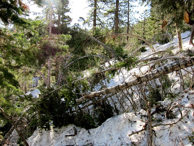
Looking back on the section of trail we just passed, the heavy snowfall of this season left parts of the trail a complete obstacle course. Just a little ways ahead it got worse...


"Where the hell is the trail" I thought as I confidently lead us up the wrong way. After admitting temporary defeat, it was Juggy's turn to lead the way.


She found the trail, lost it, and was convinced it lead up this snow covered valley.


I muscled up the long slope ahead of Juggy until I started to sink into the snow a bit. Realizing it was still early in the day, I pushed my trekking pole down in the snow to see how deep it was because we would no doubt be postholing later in the afternoon. The snow was nearly 3 feet deep, so we decided to bail out and find a southern exposed route to get some miles under our feet (looking across the valley in the photo it seems very obvious now).


Leaving the deep snow behind, the first two hours were fun but not what we had signed up for. We headed across the valley to Trail Canyon, the site of our recent Postholing day. The snow was all but gone and we got some good steep miles in.


The turn-around point in our second hike of the day was the locally famed "Rain Tree", a three thousand year old Bristlecone Pine. After taking a break and getting to know a couple of nice hikers from the Boston area, we headed back to the trailhead and stopped by the lodge for an early dinner and a couple of beers. This could get to be a habit during the next few months of training up here!


Thursday, May 5, 2011

Sandstone Cliffs, Rushing Water, Huge Arch, Backpacking

After spending a couple of days celebrating our wedding anniversary hiking and relaxing in one of our favorite places, Zion National Park, Juggy and I decided to finish up our long weekend with a quick backpacking trip. La Verkin Creek Trail winds through Kolob Canyons, which lies in the less traveled western edge of Zion.


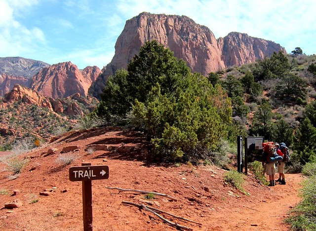
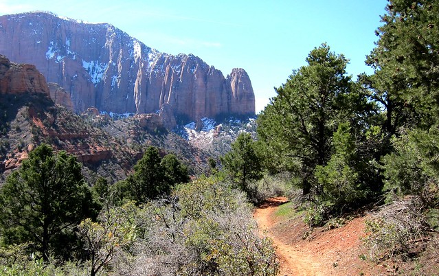
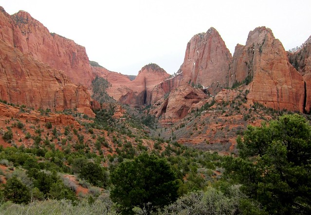
The trail begins at 6,000 foot Lee Pass, and quickly descends into this colorful valley.


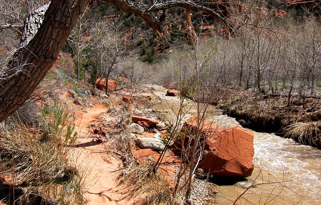
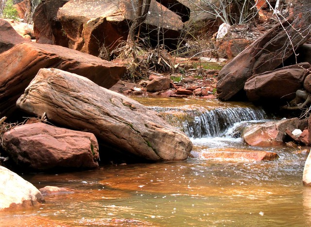
In about 3 1/2 miles and 1,000 feet lower, you come to La Verkin Creek, which was brown with high water during our visit.


A recent snow storm followed by warm spring weather left some parts of the trail quite muddy.


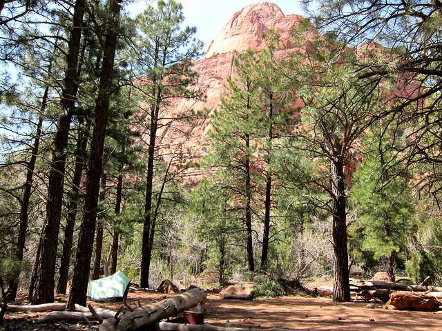
The park regulations limit all overnight camping to designated sites which require a permit. This helps to maintain the parks pristine conditions, as too many visitors would surely destroy what nature has so painstakenly created. We enjoyed a leisurely 6 mile hike to campsite 12, which is surrounded by Ponderosa Pines and sandstone peaks.


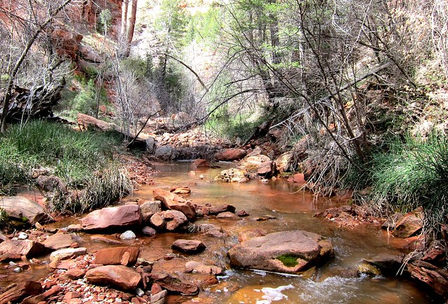
After setting up camp, we decided to venture up a nearby canyon to see the famous Kolob Arch. The trail follows a small creek for a half mile.


We took our time and really enjoyed our surroundings. We actually totally missed the arch and went about a half mile past it before we realized we had definitely gone farther than the half mile the sign had stated.


Kolob Arch, neatly tucked away in this thickly vegetated canyon, was at one time thought to be the worlds largest freestanding arch.


On our way back we stopped for a quick game of backcountry chess.


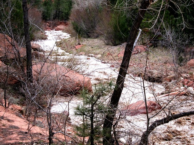
Our campsite was on the far side of La Verkin Creek, which had risen about a foot while we were gone. After sliding down the embankment and falling on my butt, I celebrated saving my camera from a watery death. Juggy decided to find a better place to cross, but shortly after this shot I feared for a moment that she would be washed away as the rushing water went above her knees, but she held strong. I found a shallower place to cross.


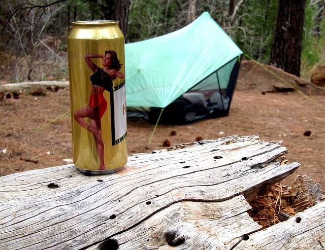
Fortunately I had enough forethought to put a beverage in the freezer the night before, so we treated ourselves to this ice cold beer when we returned to our campsite...Miller Time!


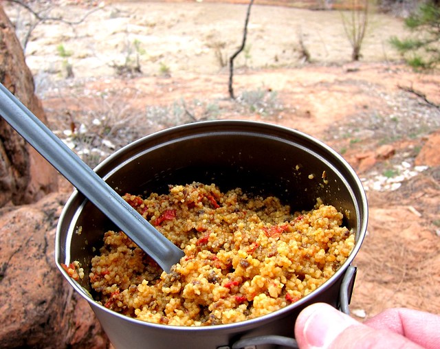
Cooking dinner is always a pleasure using my Trail Designs .9L Sidewinder.


My famous (in my mind) Moroccan Delight is currently our favorite backcountry home cooked meal.


Perched on a large boulder, we enjoyed this view while consuming our well deserved meal.


The next morning I savored a hot cup of coffee from the same place while Juggy slept in, then we shared a hot breakfast of couscous, nuts, berries, brown sugar, and powdered milk (I need to come up with a name for this). Then we packed up camp and hit the trail. Apparently the beavers have been busy in this area...unfortunately we didn't get to see them.


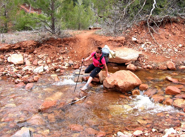
One thing I neglected to mention earlier is that there are probably a dozen stream crossings between the trailhead and La Verkin Creek from smaller tributaries. I attempted to grab a shot of Juggy falling in, but she wouldn't oblige.


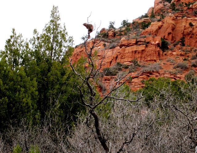
Making the climb out of the canyon, we heard a distressed chirping sound and stopped to figure out where it was coming from. Looking up we saw this little squirrel stuck high in a nearby tree. We didn't get too close so not to scare him in fear that he might fall.


One last shot just before returning to the trailhead...some of you may see an anatomy lesson here.


Juggy and I are very lucky that we share this passion for the outdoors. Or should I say I am lucky that she enjoys my obsessive backpacking habit!

Monday, April 25, 2011

Observation Point, Zion National Park - Breathtaking!

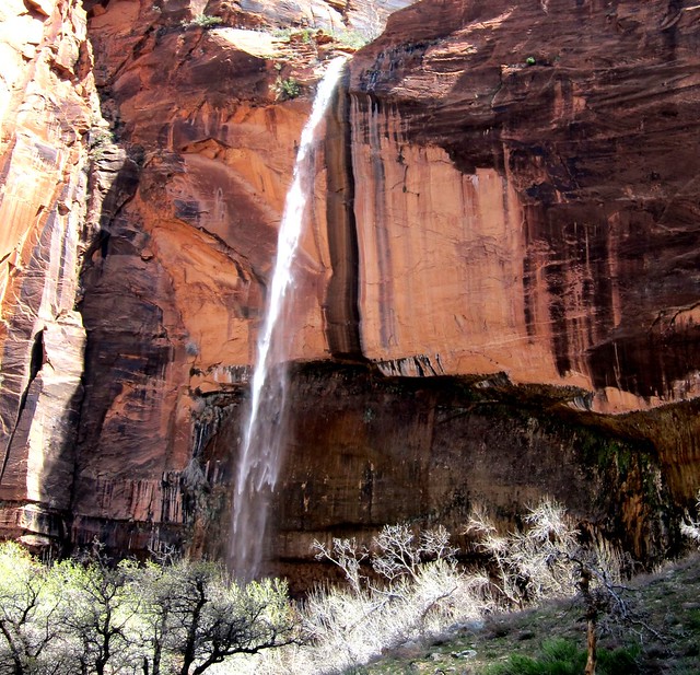
Waterfalls, they're just falling water, so why are they so inspirational?

Weeping Rock

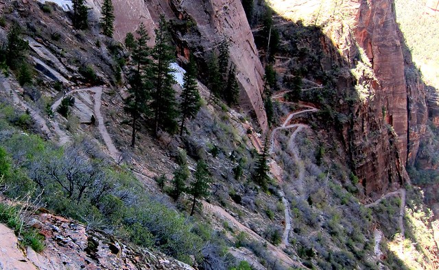
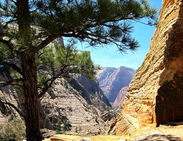
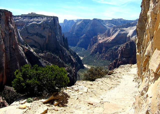
If you ever get the chance to visit Zion National Park in Utah, I strongly suggest you head to Observation Point. The hike begins on the valley floor at the Weeping Rock trailhead, and rises some 2,150 feet on a wonderful 4 mile (each way) long trail. The first mile or so has you zig-zagging back and forth up the steep mountain face. Here's the view looking back down...

Observation Point / Hidden Canyon Trail

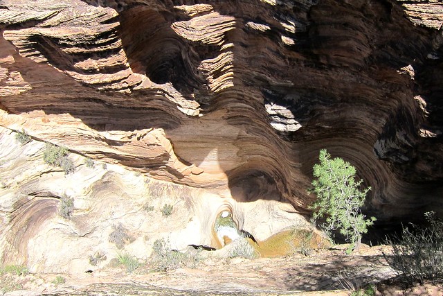
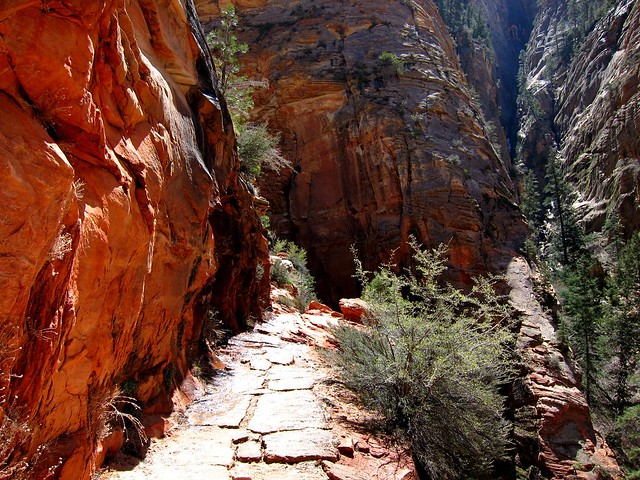
As the trail heads into the canyon, look to your left over the edge to see a maze that flood water has carved over the years.


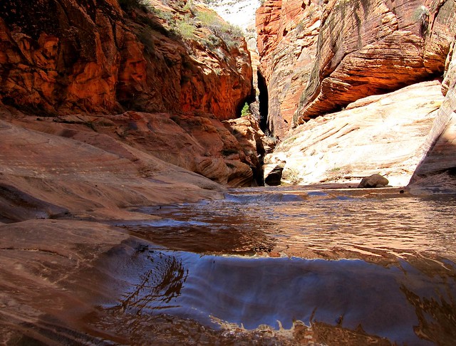
The canyon walls almost seem to glow like the colors of an oil painting!


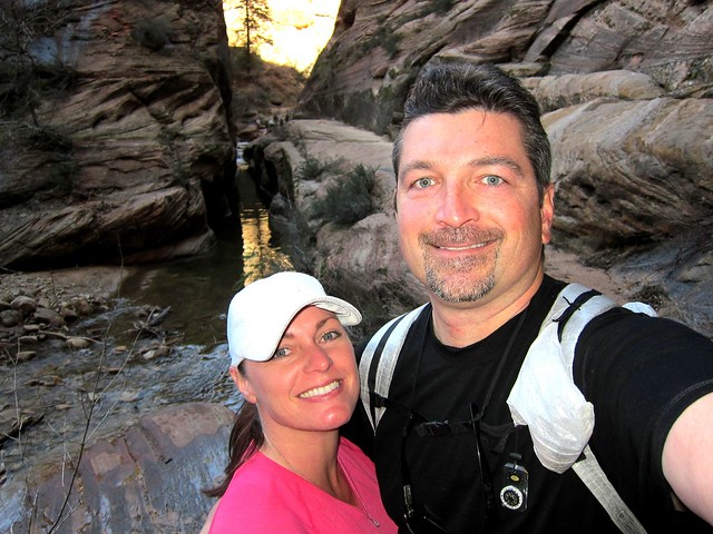
Happy hikers...


Be careful not to get your feet wet (like we did) while navigating this stream crossing.


You just might find yourself stopping to admire the dark canyons along the way.


One of the locals...


A nice valley with views towards the east entrance of the park.


As you climb the steep trail, you get a sneak peak of what's to come.


Portions of the trail, although plenty wide, have lots of exposure which can be nerve-racking to people with a healthy fear of heights (like me)!


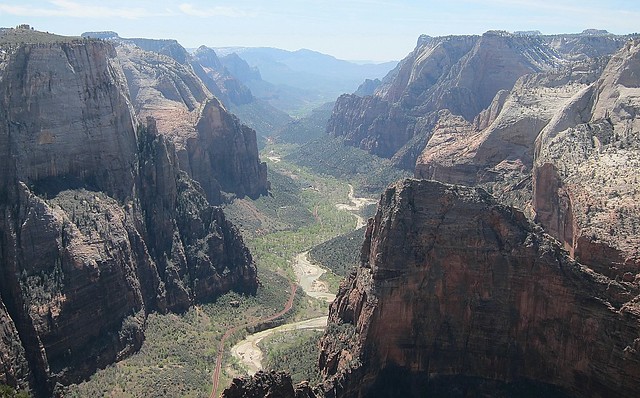
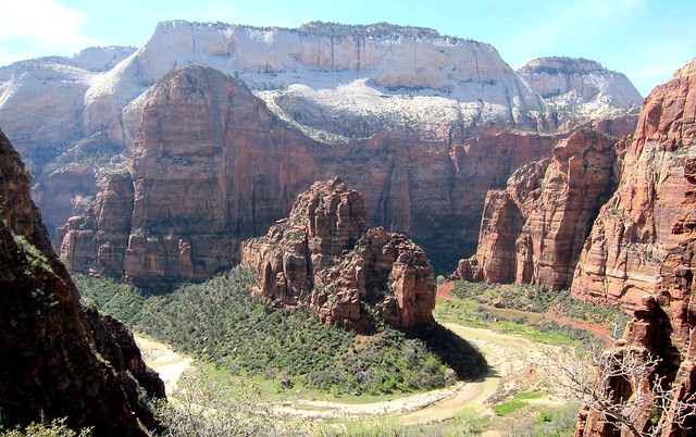
Once you make your way to Observation Point you are treated to this unbelievable view down Zion Canyon. Jutting out from the right is Angels Landing, another rewarding day hike with chains to hold onto in the exposed sections, leading you to the end that would otherwise be most dangerous to get to.


The breathtaking views go on and on, making this one hike you won't want to miss!